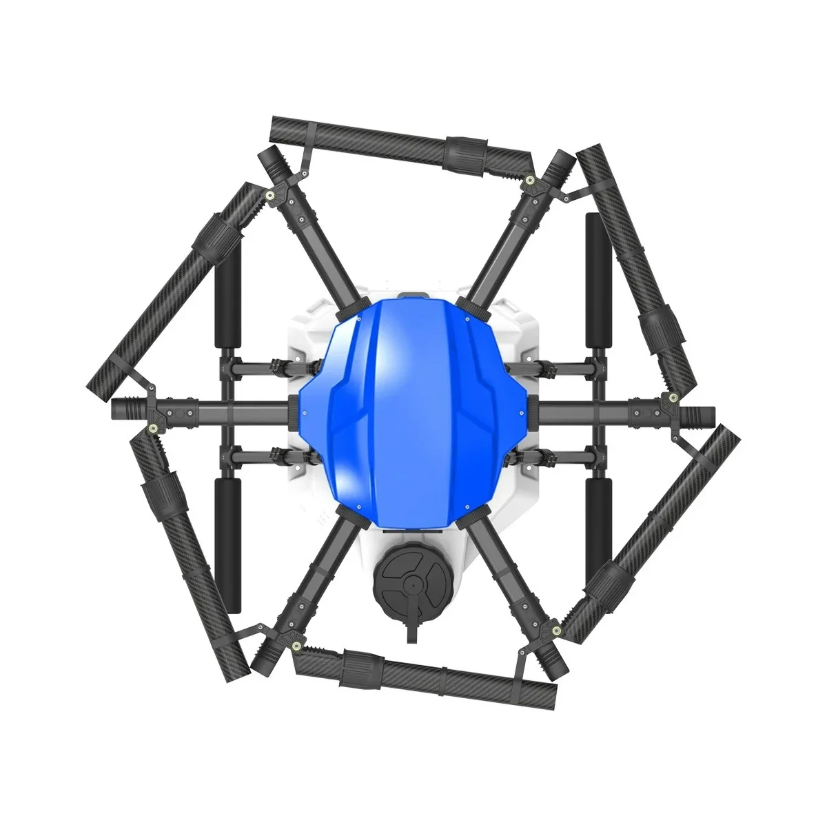
ROTOQUAD delivers indigenous, Type-Certified DGCA compliant agricultural drone platforms designed specifically for India's rugged farming conditions. We manufacture high-tensile carbon composite airframes with quick-folding arms, high-torque brushless propulsion, IP67 weather sealing, and customizable 10L to 50L chemical tanks.
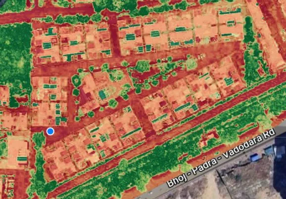
Equipped with high-precision 5-band multispectral sensors (Red, Green, Blue, RedEdge, and Near-Infrared), our survey drones capture calibrated reflectance data across entire field canopies. We diagnose chlorophyll degradation, nitrogen deficiencies, fungal outbreaks, and moisture stress up to 14 days before visible symptoms emerge.
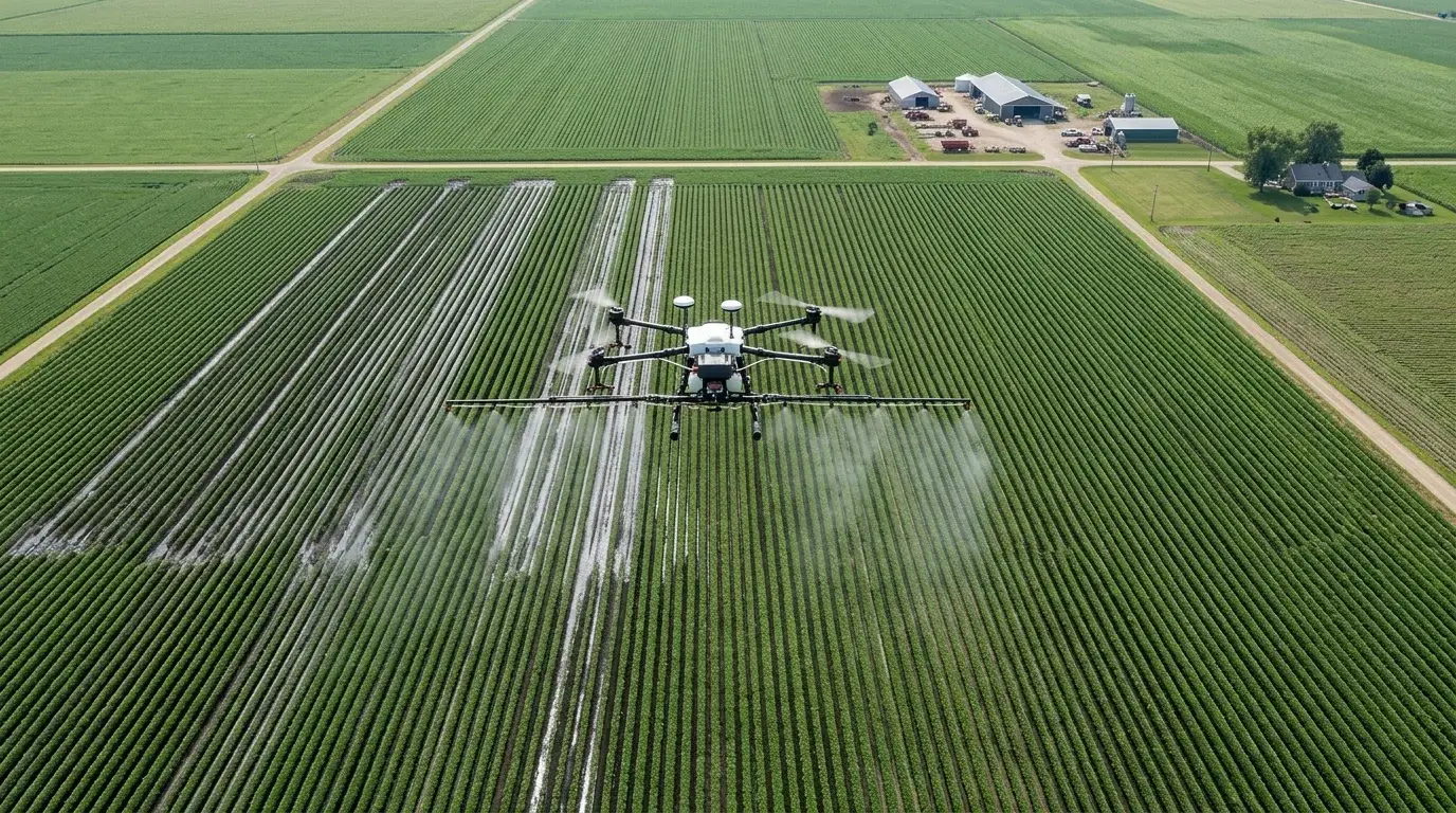
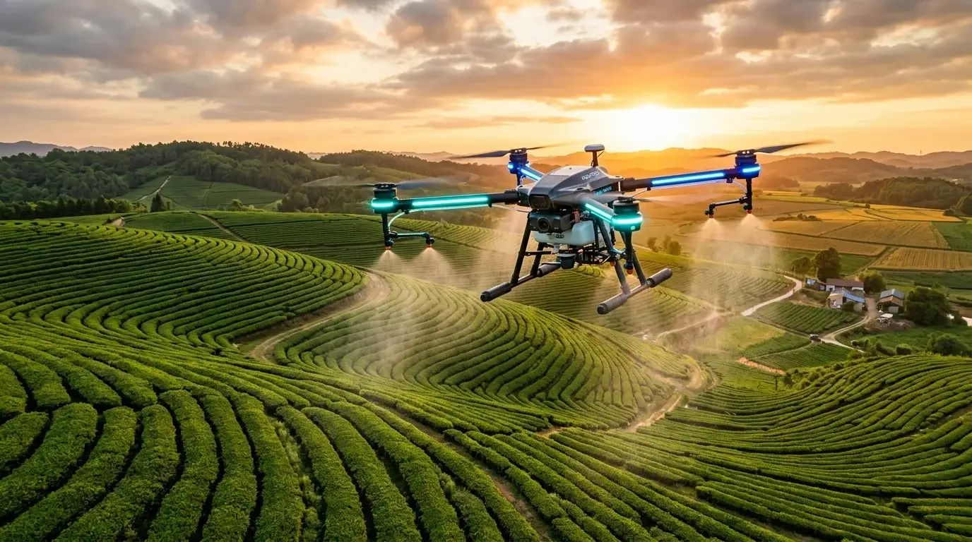
Transform broadacre row crops and dense orchard plantations with automated centimeter-accurate spraying. Dual high-pressure peristaltic pumps paired with downward propeller vortex turbulence force micron-level droplets to coat both top and underside leaf foliage uniformly without fruit damage or soil compaction.
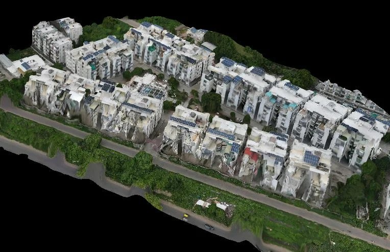
Generate high-density Digital Elevation Models (DEM), Digital Surface Models (DSM), and 3D textured mesh reconstructions for large farmland watersheds, irrigation canal planning, bund management, and infrastructure developments with survey-grade RTK precision.
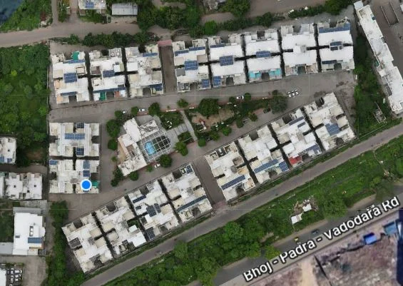
Turn raw multispectral flight imagery into actionable field intelligence. Our automated cloud processing pipeline stitches orthomosaic maps, calculates plant stand counts, detects crop canopy density, and models predicted harvest yield with machine learning algorithms.
High-precision geofenced perimeter definition, altitude optimization, and obstacle clearance mapping.
Autonomous UAV flight scanning using calibrated 5-band NDVI multi-spectral or LiDAR sensors.
Cloud processing pinpoints stress zones, calculates exact dosage requirements, and generates variable-rate maps.
RTPL-0610P drones execute centimeter-accurate localized spraying, saving 30% chemical and 90% water.
Schedule a field demonstration or speak with our flight specialists about integrating turnkey autonomous drone workflows.